In the comming weeks we will be doing some much needed server maintenance. The site may become inaccessable for a day or two during this process. Please be patient as we work to make the forum experience better for all of you.
There was a pace I used to visit when I was a kid near Post Texas where there were real deep ruts in solid stone where the wagons went down a steep hill and the deep ruts were from them locking the brakes and the wheels skiding down the hill. Wish I had a picture of this.
Jack
Jack, Those would be some ruts. I forgot to mention, but if you
look ahead at the ruts, you'll see the little ridge cut through by
the ruts. They've made a pass right through the ridge. That took
some time too. Too bad you don't have the pictures.
Gary
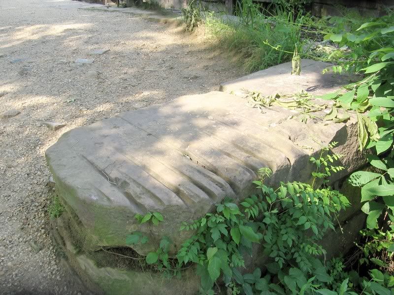
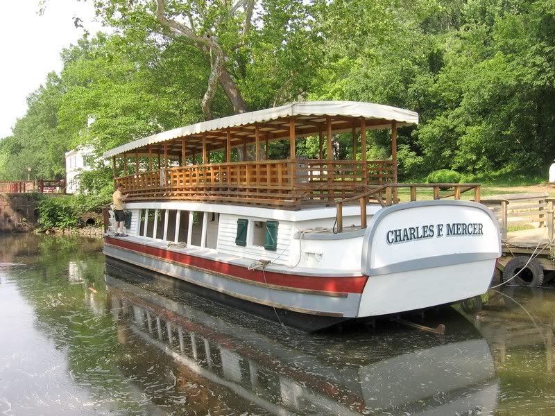
Wagon train ruts, thats neat these marks in this rock are from ropes where mules were pulling canal boats on the C&O, this is at Great Falls VA. just outside of Washington DC., they were building the canal and the B&O railroad at the same time, raceing to Harpers ferry W.VA. the best place to pass on to Ohio the canal got there frist, and it all ended up in court, they worked it out to where when a train got to harpers ferry, it unhooked from the cars, went on to the other side, then the mules pulled the train cars to the other, hooked up again and on to Ohio, i think the goverment would do it just that way today ts
Amazing those ruts are still there! + - 140 years later! How many wagons passed over that same trail, headed West?
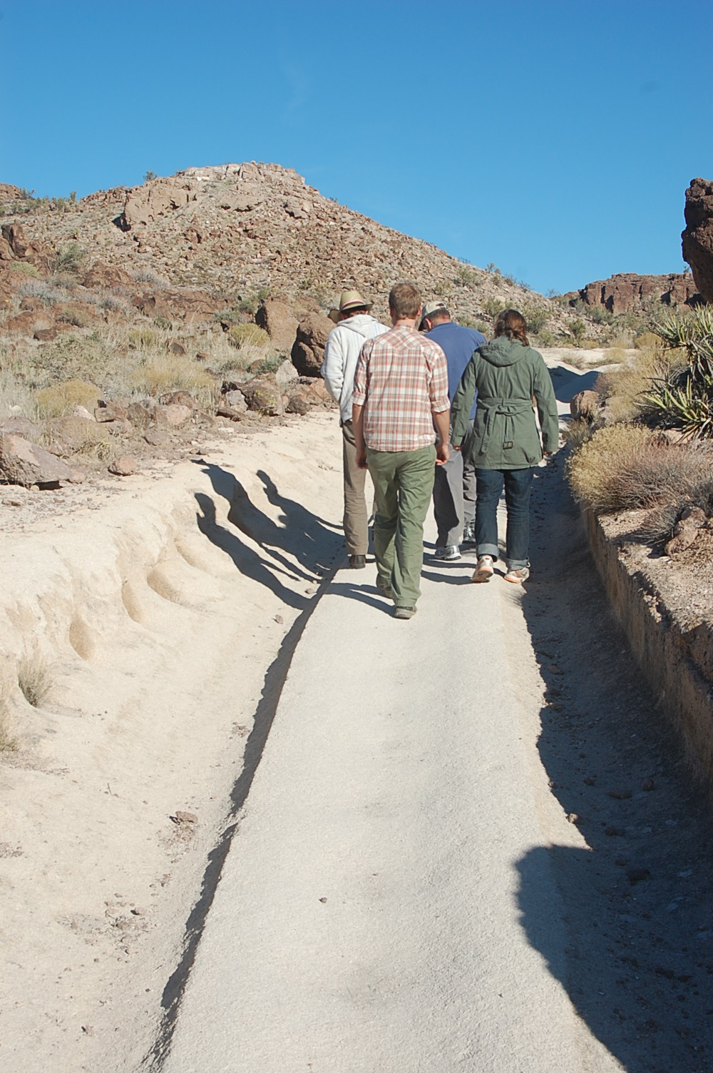
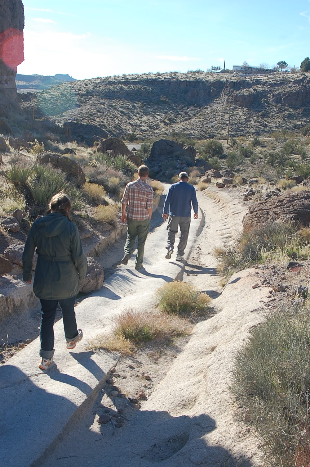
Jack, got a picture for ya:
These are just outside of Kingman, Az. Ore was mined and wagons used to move the ore uphill. This is all solid rock. Note the rock that is gone at intervals along the side. Was told they put smaller logs through the wheels and set in these slots in the rock to keep the wagons from rolling downhill!
Searching the fields of NW Indiana and SW Michigan
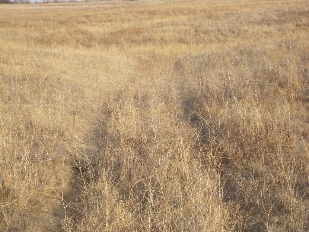
Greg, I have no idea how many wagons passed that way, but now that you asked, you've
made me wonder. I think I'll have to try and research that. It is something how long
they can last if not disturbed by the plow. I think one thing that helps, is that the cattle
continue to use them. That's why the grass is mashed down a little.
Quite the ruts in that stone as well. Took alot of wagons to do that.
[quote=SDhunter post=37668]Greg, I have no idea how many wagons passed that way, but now that you asked, you've
made me wonder. I think I'll have to try and research that. It is something how long
they can last if not disturbed by the plow. I think one thing that helps, is that the cattle
continue to use them. That's why the grass is mashed down a little.
Would be interesting. You also mentioned supply route. Any idea to where? Town, fort, reservation?
Just wondering
Searching the fields of NW Indiana and SW Michigan
Greg
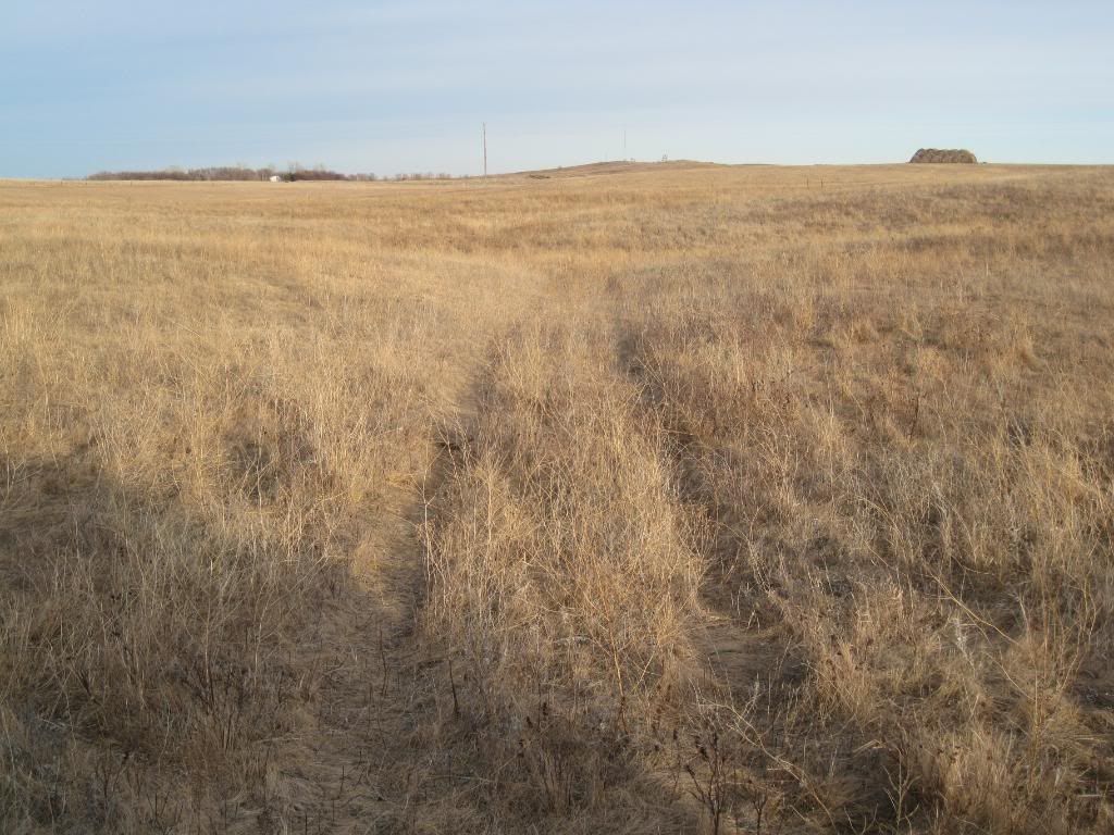
This wagon route went from Fort Abercrombie, ND to Colombia SD. This was the first permanent fort built in ND, on the Red River, in 1857, so it was used as a transportation hub for military outposts, and early settlements, such as Colombia. There were other wagon routes, but these tracks are the Colombia route. This fort was attacked by the Sioux in 1862, called The Dakota War of 1862. It lasted 6 weeks. All the regular soldiers were called to duty in the Civil War, so it was manned by Minnesota volunteers. I don't think there were large numbers of casualties. This wagon route branched right about where I took the photo and headed south to a trading post that is on
a friends land. It is still there in ruins. Quite a few artifacts have been found in this area, due to it being an old trading area. There isn't anything significant about Colombia, although it was going to have the railroad come through, but when speculators bought the land and then tried to sell it at high prices to the railroad, the railroad moved its route!! So much for Colombia. Its barely there anymore.
Gary
ps. I went to google maps, and knowing just where to look, I was amazed to see that the wagonroute could be seen by satellite.
Chris,
We ran out of time that day, so didn't get to the trading post, but
wished we had now, to complete this little story. I planned on going
back there this weekend to see the post, and hunt for points, but now
that it snowed, not sure. Maybe will go look at the post anyway, so stay tuned.
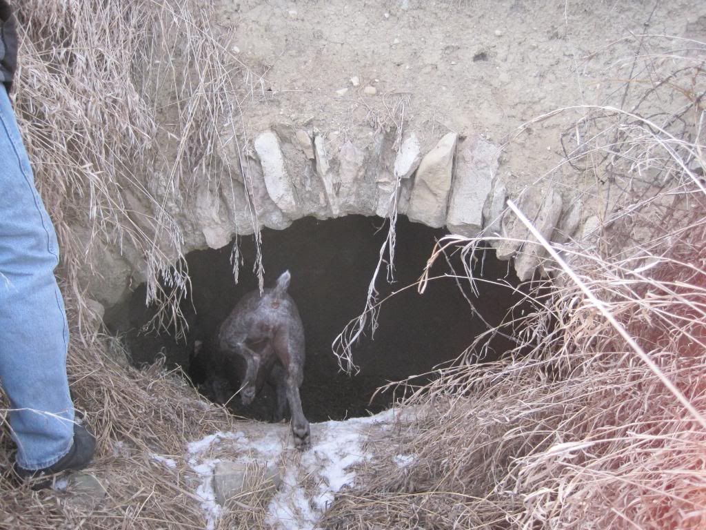
We did however go and look at an old settlers house that he built out of rocks in the bank
of a small hill next to a slough way out in the middle of nowhere. He covered it with dirt after
laying the ceiling, and you can be right on top of it without even knowing it. I've got pictures of
that. Part of the ceiling has collapsed, but got enough left to get an idea.
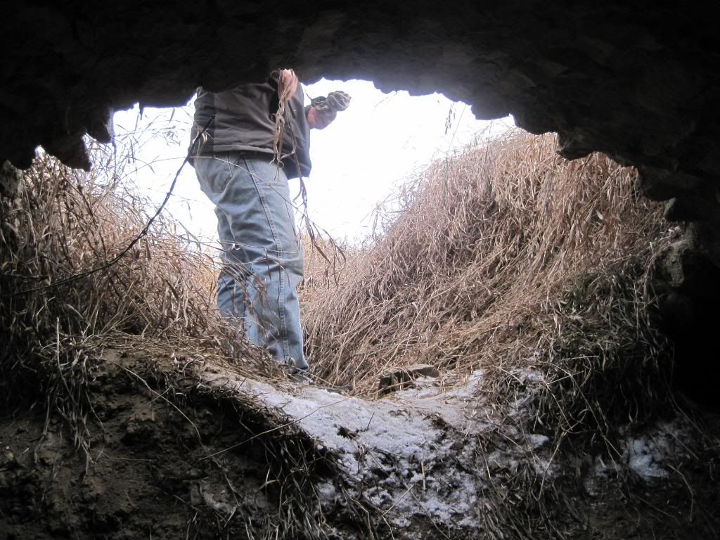
This first picture shows my dog going in to make sure there are no coyotes inside. The ground
she is walking on, is the caved in portion of the house. You can see the ceiling of what is left.
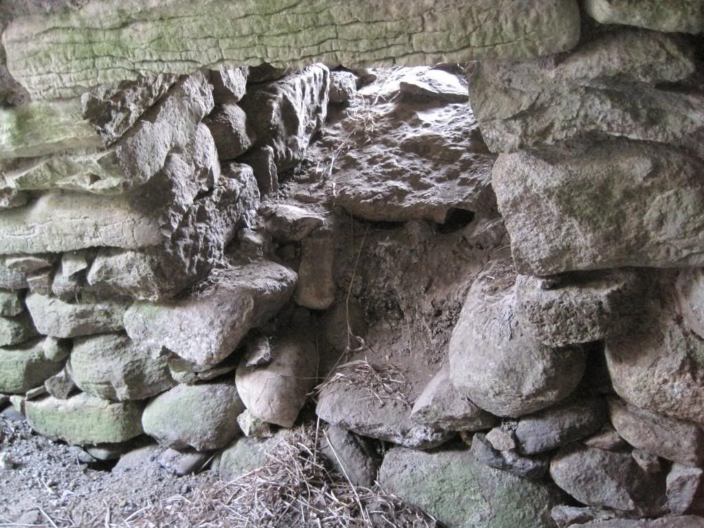
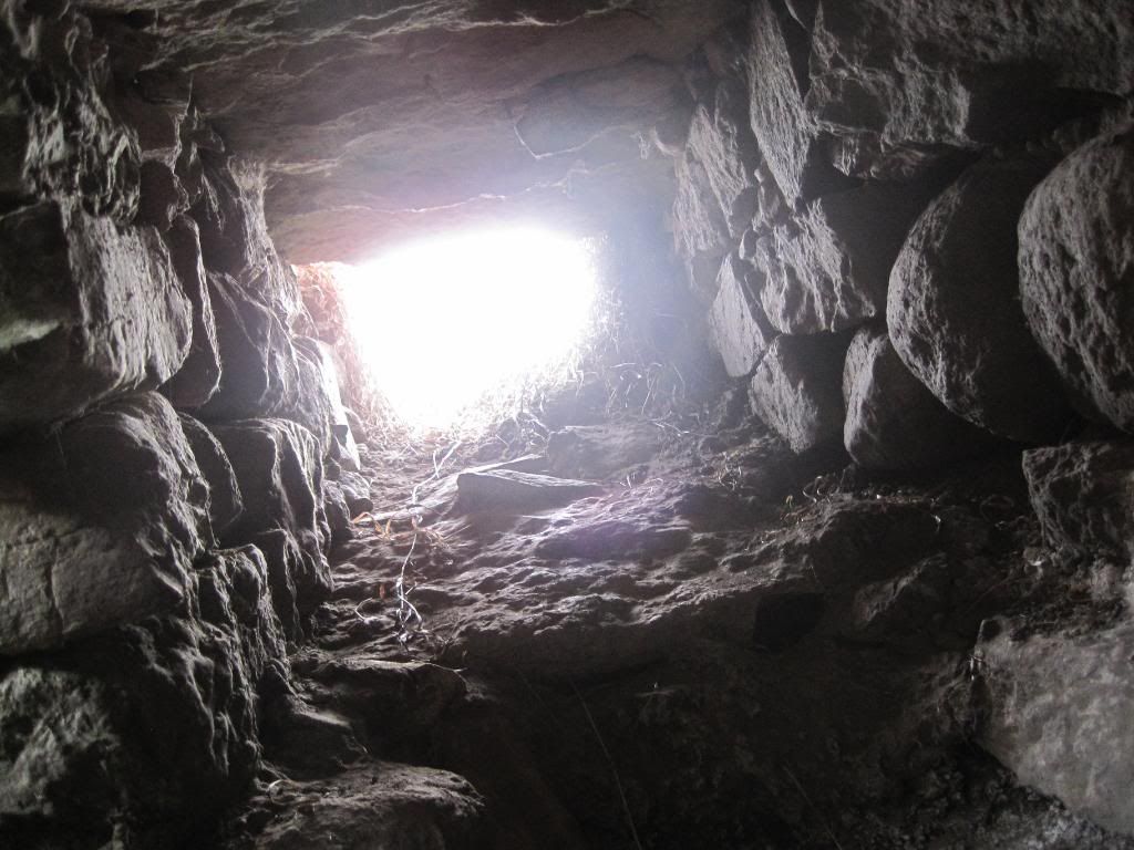
This pic above, is me sitting on the floor and looking at the south wall at the room's window. It's just a shaft that goes up to the ground level. The picture following is the window shaft, looking up it.
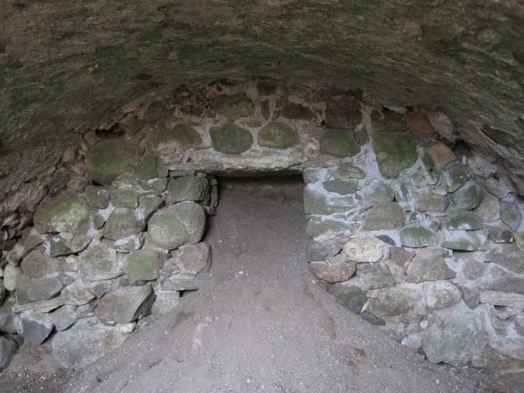
This next picture is taken just getting into the room and shows the back, (west) wall where the
fireplace can be seen.
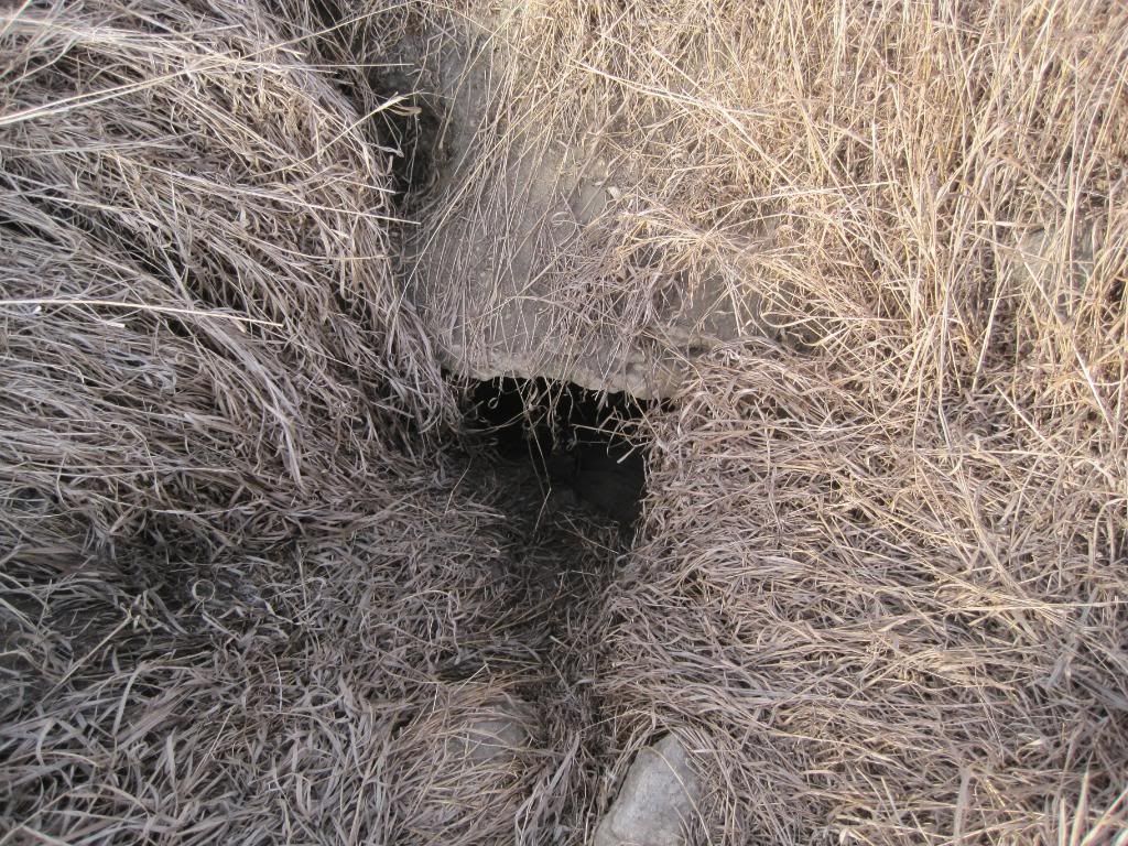
The next picture is looking back out where the ceiling had collapsed, view from inside room.
The last picture is a picture of the window shaft from the outside. I think it was just covered up
with a rock when he wanted it shut.
Quite the way some of the oldtimers lived. They lived just to survive
gary
 Tweet
Tweet

Comment