 Tweet
Tweet
Is an ancient trail an artifact and/or archeological feature? I think of them that way. From time to time I'll Google hoping to find more details or better map on the ancient trails in place when the colonists arrived. Anyone else ever look into this? I'd like to hear.
For those of you in PA, I see lots of good trails info, much more detailed than I've ever seen for mass. Attached is a map I saw for the first time today, shows major trails in the Great lakes region, one of which ends/begins in boston.
I know the major trails here, there was one major east to west trail (Mohawk trail). And there were three northeast to southwest trails. These were used by the first English to punch into the "wilderness" from Boston area to survey land, begin trading and improve/widen the trails. These became the first post roads that carried mail, goods and people between Mass Bay colony, Providence, Hartford and Manhattan. These ancient trails were described by the English as being single track, one man wide. They are now paved roads, such as US Route 1A.
For the remaining trails not yet paved or obliterated, I wonder if dating them is possible thru analysis of compaction and stratification, certainly artifacts must've ended up buried in the trails themselves. How many ancient trails are out there, unpaved? Do you think you can identify an ancient trail? I'll bet some of the cart roads shown on early usgs maps are. Your thoughts?


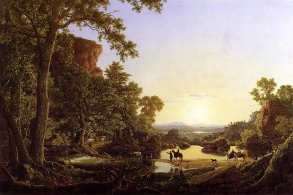
This is one of three ancient trails used by English in early 1600's. Called the old connecticut path, connects boston and hartford. Parts of this trail remain. This pic shows trail crossing in Ashford CT

For those of you in PA, I see lots of good trails info, much more detailed than I've ever seen for mass. Attached is a map I saw for the first time today, shows major trails in the Great lakes region, one of which ends/begins in boston.
I know the major trails here, there was one major east to west trail (Mohawk trail). And there were three northeast to southwest trails. These were used by the first English to punch into the "wilderness" from Boston area to survey land, begin trading and improve/widen the trails. These became the first post roads that carried mail, goods and people between Mass Bay colony, Providence, Hartford and Manhattan. These ancient trails were described by the English as being single track, one man wide. They are now paved roads, such as US Route 1A.
For the remaining trails not yet paved or obliterated, I wonder if dating them is possible thru analysis of compaction and stratification, certainly artifacts must've ended up buried in the trails themselves. How many ancient trails are out there, unpaved? Do you think you can identify an ancient trail? I'll bet some of the cart roads shown on early usgs maps are. Your thoughts?
This is one of three ancient trails used by English in early 1600's. Called the old connecticut path, connects boston and hartford. Parts of this trail remain. This pic shows trail crossing in Ashford CT
Comment