 Tweet
Tweet
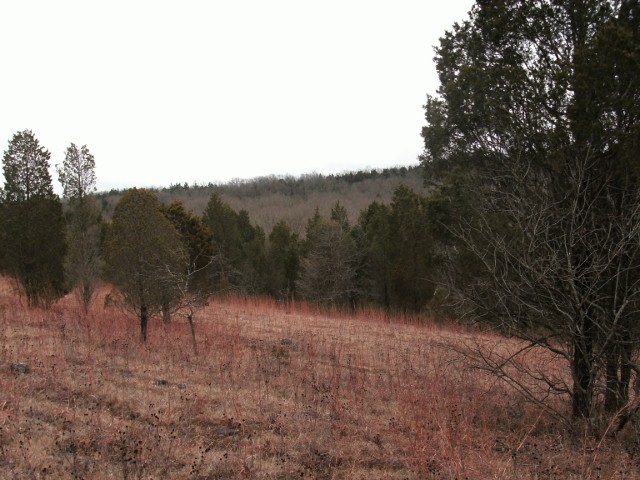
So here's the deal. I read about the chert quarries in a place called the Crescent Hills of West Tyson Park in St Louis County, Missouri. Turns out, as far back as 10,000 or more years, NA would travel for days to this location to collect a particular kind of chert from the area. There are trails there and I've hiked them. Unimaginable amounts of chert and you can still see the pits where it was quarried.
That in itself is interesting enough. I figured, heck, I'll get on Google Maps satellite view and do a little virtual hiking and maybe find a good spot to hunt. As I zoomed in on the area, I was surprised at what I saw. Here are the coordinates, 38.511841,-90.575581, paste that in a Google search and it will bring a map up as a result. Click on it and switch to satellite view. You may need to zoom in or out.
You'll see Highway 44/50 running in an East West direction and just to the North of the highway, you can see geometric shapes amongst the trees. Circles and 6 pointed star shapes. There are a few others scattered around the area also if you look, South of the main shapes.
I went back to that park and that entire area is behind an 8 foot fence and no, I'm not even thinking about trespassing. The other shapes further South are all also on private land. Any ideas? I might add that these are in an area just a few hundred yards away from the chert quarries.
I went ahead and did a screen shot, here's a picture of the main area but I encourage you to pull up the map and root around a little. Quite interesting. I researched the heck out of these and couldn't find a thing. Can't see them anywhere but from above. Hmmm. :S
P.S. The story of the Crescent Hills Chert is pretty interesting also if you want to search that. I'll see if I can find a link later and add it. Have fun.


Comment